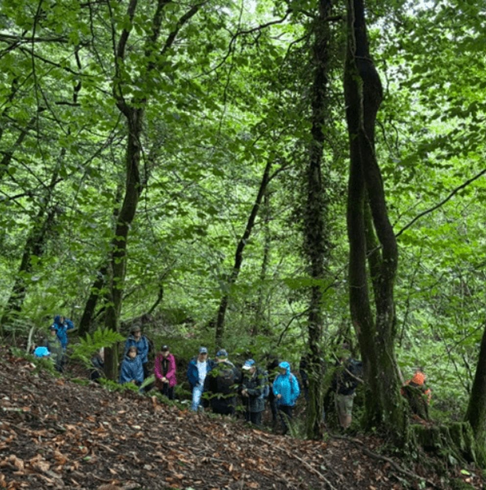
This walk gives you a very good cross-section of North Gower’s defining landscape: wide tidal estuary, saltmarsh, low rolling farmland, scattered villages, and long coastal horizons over the Loughor Estuary. It’s one of those walks where the environment shifts subtly rather than dramatically, so you notice texture more than mountains.
North Gower’s industrial heritage is closely tied to the Loughor Estuary. For centuries, Penclawdd was a centre for cockle gathering, a seasonal industry still recognised today. The wider area also supported small-scale coal mining, limestone quarrying, and brickworks, with materials transported via local tracks and waterways. Llanelli’s heavy industry, including copper and later tinplate production, influenced employment across the estuary, with many residents commuting by boat or road. Saltmarsh drainage and land reclamation also reflect historic efforts to expand agricultural use. Today, most heavy industry has gone, leaving a landscape shaped by extraction, coastal trade, and estuarine working traditions.
Heading in a generally south easterly direction we will take in some of the area’s industrial heritage as well as looking at the processes that have shaped the land. The walk returns to Penclawdd via the Gower Way and Three Crosses.
A flask and packed lunch will be needed.
Due to the terrain this walk is not suitable for children.
Well behaved, fit, dogs on short leads can join the walk – see How to Book for the rules regarding dogs.
There are no toilets on the route.
Parking will be on Penclawdd foreshore car park.
Walk leader Mike Clinch is a retired geography teacher and local field guide associated with the Three Crosses area near Swansea. He is known for leading guided walks in the Gower and surrounding South Wales Coalfield, where he shares knowledge of physical geography, local geology, and industrial heritage such as historic coal mining. His walks often highlight landscape formation, rock types, and human impact on the environment. He is connected with community walking groups like the Swansea Ramblers and is regarded as an experienced, practical educator who brings local geography and geology to life through outdoor field study.